
Capability 05
Asset Inspection & Management
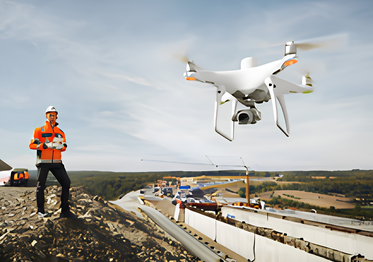
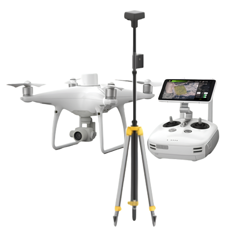
Engineering-led drone and RTK inspection that turns faster data capture into clearer asset decisions.
Discuss an asset programmeMore complete information with less time on site
Drone-supported inspection can reduce reliance on traditional access methods, improve consistency and provide visual and spatial evidence that integrates with design and asset assessment workflows.
- Faster data capture and decisions
- Improved inspection quality and consistency
- Reduced site time and access constraints
- Lower traffic management requirements
- Safer outcomes for staff and contractors
- Better confidence in cost estimates
- Integration with design and asset assessments
- Value-for-money engineering solution
Survey-grade positioning for practical asset applications
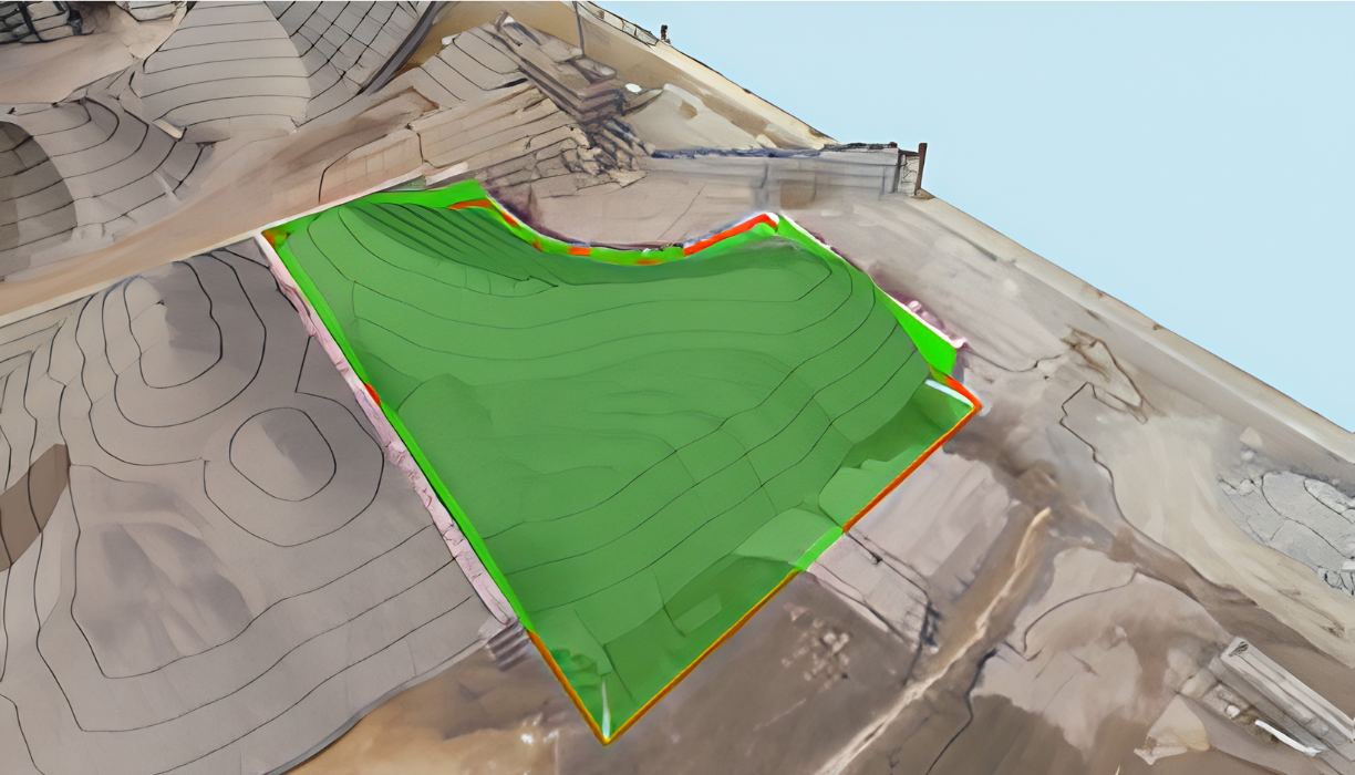
- 01Stockpile volume calculation
Repeatable measurement for landfill and material stockpiles.
- 02Road, drainage and path design
Spatial information that connects inspection to engineering design.
- 03Hydraulic assessment and flood modelling
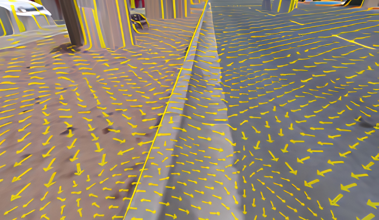
Efficient terrain capture to support catchment and drainage analysis.
- 04Asset inspection
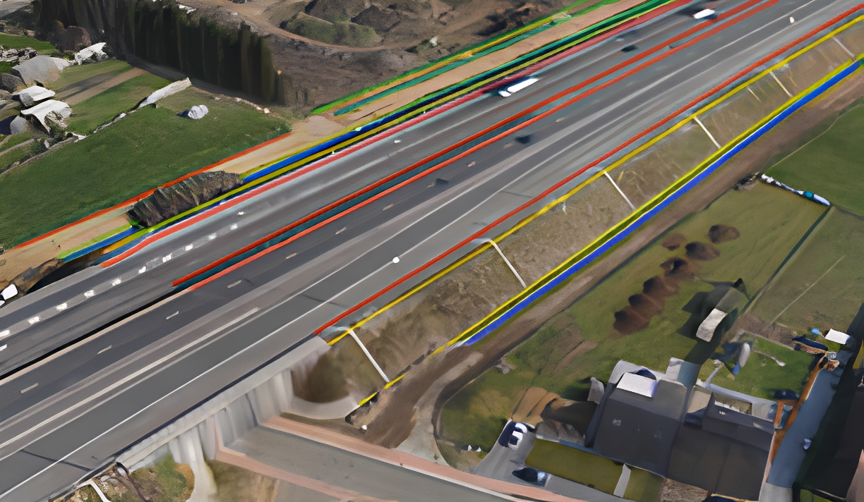
High-resolution evidence for condition, access and maintenance decisions.
Asset-management applications
Visual and spatial evidence supports inspection, analysis, design and repeatable asset decisions.
Let’s work together
Site investigations, pavement design and council delivery: talk to our engineers today.